The Master Plan
"Ideas never die, Sire, and, though they may slumber for a time, they wake up stronger than when they fell asleep" -The Count of Monte Cristo by Alexandre Dumas
The master plan for the tract that encompasses Phase 7 was originally designed in 2002 for the previous land owner, Tim Rentz. Ironically, it was my first design charrette, as I was 19 years old and interning with Duany Plater-Zyberk & Co. (DPZ) while studying Landscape Architecture at Clemson. The project was called Cherokee Farms. Bob Turner had convinced the land owner to use the same town designer as Habersham so that the two developments could compliment each other. Two other future Habersham residents were also part of the DPZ design team, Mallory Baches and Demetri Baches. In addition to the master plan for Cherokee Farms, we also completed a regional study for the county to show where it made sense to encourage pedestrian oriented development with neighborhood and town centers, along with a regional network of 2 lane interconnecting roads and regional greenways.
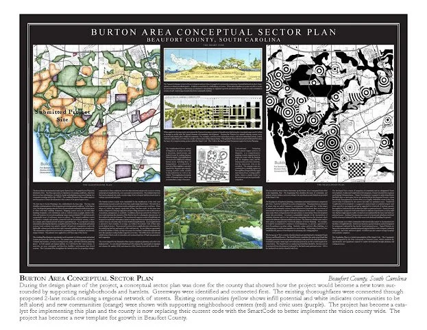
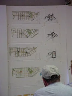
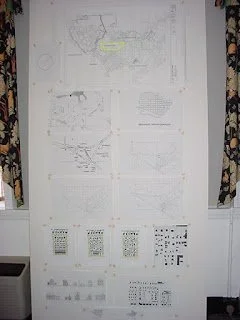
Regional Plan done for the Burton area during the Cherokee Farms Design Charrette in 2002. Orange areas depicted pedestrian shed (5 minute walk from edge to center) potential locations, purple was civic, red commercial, yellow were existing more rural neighborhoods, and green was open space.
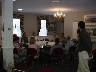
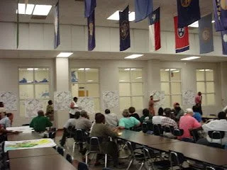
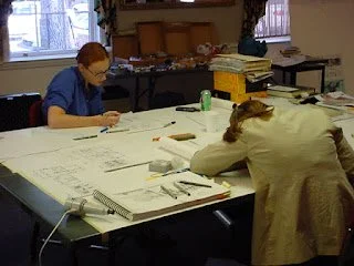
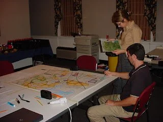
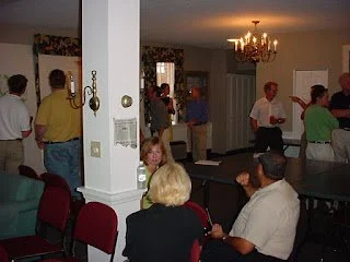
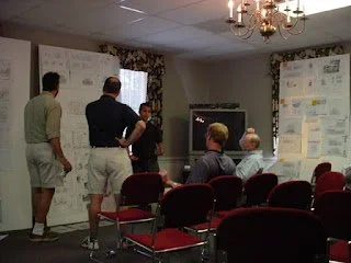
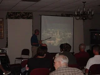
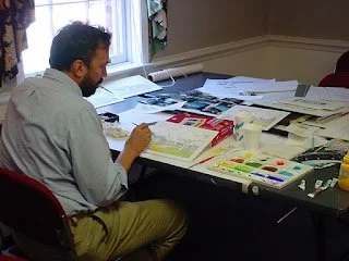
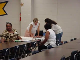
The design charrette for Cherokee Farms took place at the Sea Island Inn on Bay Street and was an intense 10 day collaboration that involved town designers, architects, civil engineers, traffic engineers, builders, county officials, politicians, fire chiefs, surrounding residents and more. All of the key stakeholders were part of the process in creating a master plan that they all could support. Tom Low, with DPZ, led the charrette and is the same town planner who led the Habersham charrette 5 years earlier. The master plan that came out of the charrette is below. It included a mix of housing types, ground floor retail, civic sites for future churches, libraries, schools, etc., plenty of green space and a neighborhood pool.
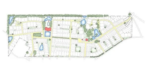
Original master plan from the Cherokee Farms design charrette in 2002.
A few years later, the land owner formed a joint venture with Habersham Land Company to develop the project under the Habersham PUD zoning so that it could have the same design standards as Habersham and be an extension of the Habersham neighborhood rather than a separate development. As the design went through the early permitting process to be rezoned, the master plan was tweaked to accommodate new stormwater requirements, AICUZ restrictions, wetlands mitigation and other things. That master plan is below.
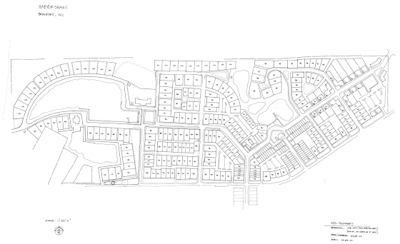
Revised Master Plan in 2006 to meet permitting requirements
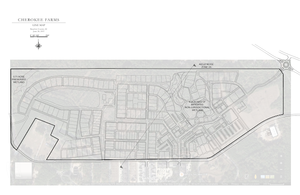
Then, after the Great Recession in 2008, the landowner needed to sell the property so Habersham Land Company purchased it under a land holding company to protect it from outside development that may not be compatible with Habersham. HLC continued the efforts in rezoning and continued to meet roadblocks. We then helped the county write a new zoning ordinance for Traditional Neighborhood Development, which then allowed the project to move forward with its current zoning rather than be rezoned into the Habersham PUD. Since then, the County has adopted a Form Based Code, which is even better and permits developments like Habersham. Still, things like stormwater, buffers, and AICUZ requirements continued to change, so the master plan would be tweaked again into what it is today and locked in with a development agreement.
Even though changing requirements required tweaks, the bones and intent of the original master plan were held onto as much as possible. There were good ideas that came out of that 10 day charrette and those ideas were put on paper and there was buy in from all the stakeholders. Good ideas are worth holding onto, even if it takes 23 years to see them come to fruition.
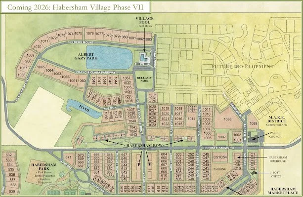
The above image shows the plan for the current phase of development. You’ll see some of the features that have been mentioned in previous blog posts, and now having the plan graphic available, we’ll be able to refer to more things going on with construction as it relates to the plan. Looking at the different master plan versions over the years, you’ll see the long, carrot-shaped green along Cherokee Farms Road is part of this phase and is still oriented around the large live oak tree that is at the end of Hamlet Row. A green finger, in the form of an Avenue, extends across from Village Row and ends at the pool on a neighborhood square. An Avenue is a thoroughfare that connects two urban centers and typically has a landscaped median and terminated axes. This Avenue is named after Louis Pinckney Sr., who was one of the last living members of the family who last lived on the Habersham property and was able to share so many stories of the land with Bob when he first started Habersham.
The pool also looks out over the pond and park to the west as it has since one of the early master plans that was done. This entire block, consisting of the pool, pond and green space is called Albert Gary Park. As many know, Albert is more commonly known as “Lug” and this park is a way to honor him as a person and his contributions to Habersham for so many years. The street that borders the park to the south is named in memory of Lug’s parents, Clara and Francis Gary, whom Lug described as inseparable and thus, their names will be shared on a street sign and their street will hug the park bearing their son’s name.
Connecting the neighborhood square to the east side is a future boulevard, as in the original master plan, that will only be stubbed out in this current phase. That boulevard will connect to the future town square, just north of the Parish Church. The name of that Boulevard is Emmett Davis Jr. Blvd. Mr. Davis was one of the founders of the engineering firm Davis & Floyd and the father of Stephen Davis, Bob’s partner in developing Habersham. Mr. Davis was instrumental in helping Bob and Stephen get Habersham started in the early days.
The overall block pattern in the site plan reflects the original master plan other than some of the street connections to Cherokee Farms Road because of needed adjustments to meet the County’s access management requirements. So, even though it has been 23 years since the design charrette was done for this piece of land that was originally going to be a separate development, the good ideas that rose to the top during that process have stood the test of time and will be implemented to help strengthen the existing interconnectedness of Habersham and continue the harmonious evolution of a neighborhood.
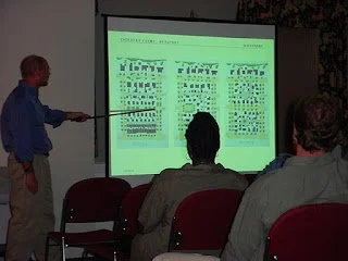
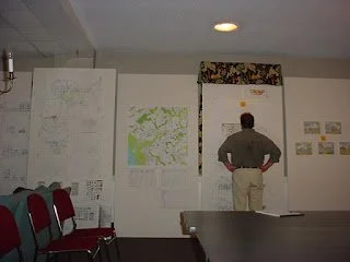
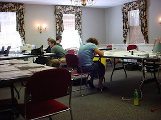
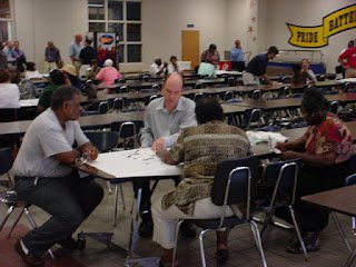
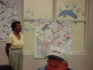
More about the plan will be discussed in future posts. Below are some pictures from the original design charrette in 2002.